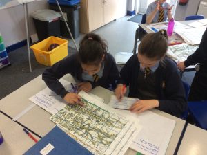
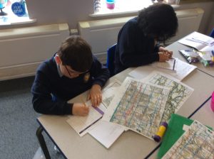
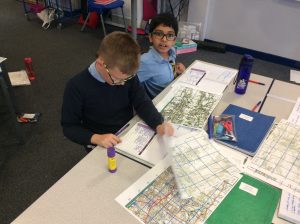
In Geography today, Class 9 explored how the use of land in Heywood had changed over time. Applying our previously learned knowledge of four figure grid references, we looked at historical maps to see what land was used for in 1890, 1950 and 2019.
We discovered that since 1890, Heywood has become more urban, with more land used for residential and retail purposes now.


0 Comments